Before · During · After
One record, from existing conditions to closeout.
One visit produces two things: a dated record you can open, walk and measure, and finished footage you can publish. Choose the phase you are in, or keep the same capture running across all three.
01 / Before
Before you break ground
What the site looks like today, dated and measurable. Existing conditions, topography and site context for your design team, your lender, or your own baseline.
02 / During
While you build
The same angles on a schedule you set. Walk any past date in a browser and see what is behind the drywall, under the slab, or where the pad was in March.
03 / After
After you hand it over
The closeout record your client keeps, and the footage you use to win the next one. Topping out, a final walk, or the finished asset.
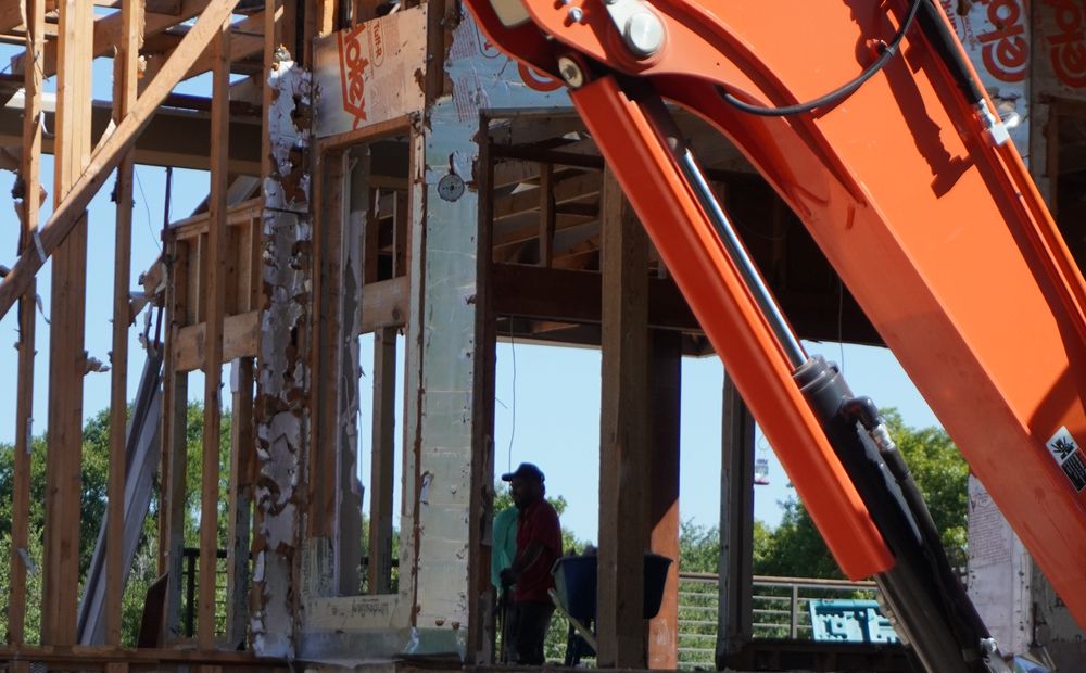
For general contractors · Developers · Architects & engineers
Construction Progress Documentation
Scheduled drone, 360, and ground capture across every phase of your build. Progress records aligned to your draw schedule, inspection support without mobilizing a crew, and a closeout package that holds up years later.
- Phase-by-phase progress records, on your calendar
- Draw inspection & pay-app supporting imagery
- 360 interior walks before drywall closes them in
- Closeout documentation packages
One record everyone can agree on.
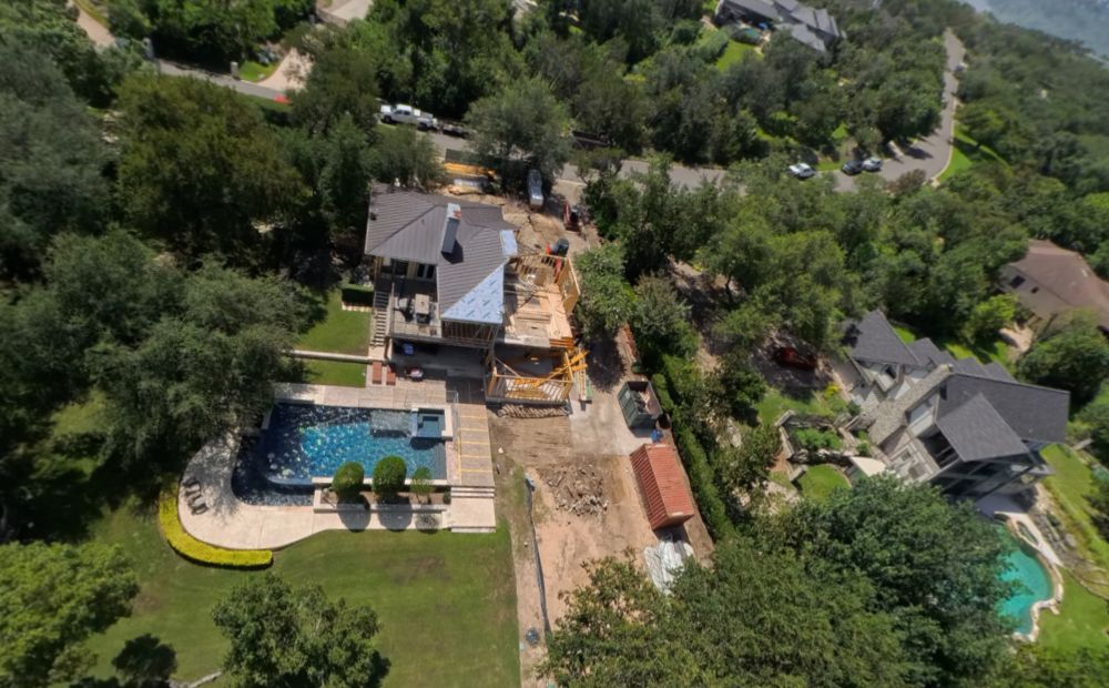
For preconstruction · Acquisition · Renovation
Existing Conditions & Site Analysis
Document existing conditions before construction, acquisition, or renovation. Roof and facade imagery, measurable site context, and a walkable digital twin create a dated baseline your project team can return to.
- Preconstruction and pre-acquisition condition records
- Roof & facade inspection imagery
- Measurable site and parcel context
- One link for project teams, lenders, and owners
Know the site before work begins.
Sectors
Where we work.
Energy
Solar, wind, transmission and pipeline
Preconstruction topography, route and corridor documentation, construction monitoring and as-built records. Working in energy geospatial since 2007.
Construction
Commercial, multifamily and custom
Pre-pour and pre-cover records, monthly progress aligned to your draw schedule, earthwork volumes and closeout documentation.
Land development
Sites, parcels and acquisition
Existing conditions before design, measurable site context, and a dated baseline your team can return to.
Who we serve
Built for the teams responsible for what happens next.
Each team uses the same site record differently. Start with the decisions your team needs to support.
01 / FIELD + OFFICE
General Contractors
Track progress, coordinate field conditions, and retrieve dated evidence for meetings, change orders, and closeout.
02 / PROJECT OVERSIGHT
Developers
Review work across active sites, document existing conditions, and maintain a visual record from acquisition through delivery.
03 / DESIGN COORDINATION
Architects & Engineers
Revisit field conditions, compare work with design intent, and use measurable imagery to support coordination and analysis.
Progress lives across phones, text threads, and scattered folders.
Every project already produces photos. Finding what the site looked like on a given date is the hard part, and by the time it matters, it’s usually urgent.
Repeatable viewpoints, so the same spot is comparable month to month.
Ground 360, progress photos, and aerial context captured together, not spread across three apps.
One private link, organized by date and location, ready the moment someone needs it.
Austin owned. Site focused.
Lumen Air is a locally owned and operated small business based in Austin. We bring local coordination and direct accountability to every capture record.
- FAA Part 107
- Certified remote pilot operations
- Insured
- Aviation liability coverage
- Locally owned
- Austin small business
- Commercial construction
- Focused project experience
More than a photo. A spatial record.
Combine current aerial capture with project, property, and terrain data to show not only what is there, but where it sits and how conditions relate.
Bring orthomosaics, plans, parcels, and supplied GIS layers into one coordinated view.
Inspect distance, area, elevation, context, and change at the level the decision requires.
Receive GeoTIFF, KMZ, point cloud, 3D model, or web-ready outputs with clear coordinate notes.
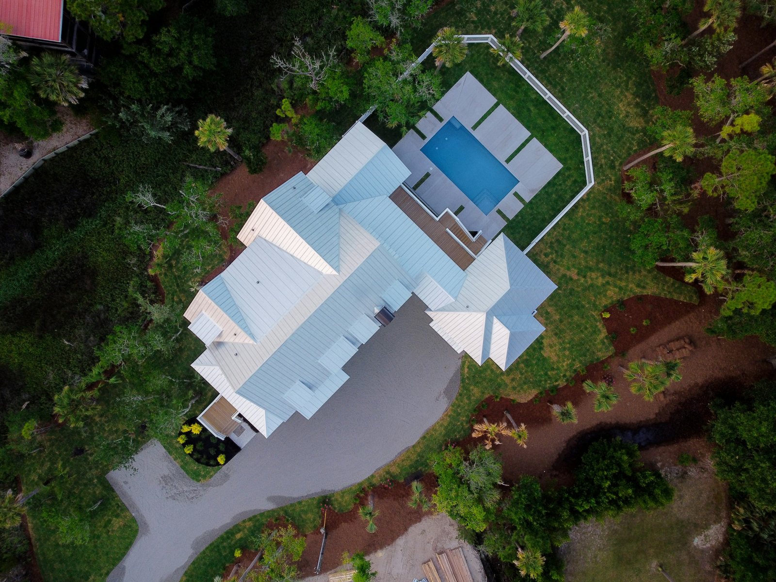
What happens on a job.
Built around your build calendar
We map your site and set a capture schedule around your build calendar: draws, inspections, closing dates.
Flown, walked, and filed by date
Drone, 360, and ground imagery captured on schedule, then timestamped, geolocated, and organized by site, phase, and date.
One link, and it stays yours
One link your whole team can open, walk, and measure from any browser. Your data, yours to keep.
See a record in context.
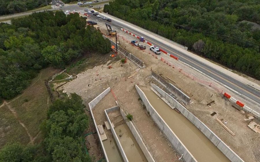
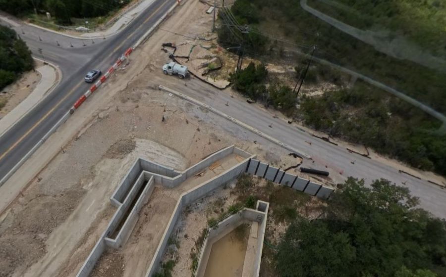
Walk the site yourself — drag the capture to look around. Below it, two dated visits to a Central Texas drainage job show how the record makes change obvious.
FAQs
What kinds of projects do you document?
We focus on commercial and civil construction across Central Texas, with selected residential projects and existing-condition capture for development teams.
How is the record delivered?
As a private link your whole team can open in any browser. Photo and video from each visit land in your portal within 48 hours. 3D models and edited summary video take longer, and we’ll give you a date up front.
Does every visit include drone imagery?
No. The capture plan matches the site and the phase. Some visits are aerial, some are ground 360, many combine both. You’ll know the plan before we fly.
Is this survey-grade documentation?
A record is visual documentation with dates and locations, built for progress tracking, coordination, and avoiding disputes. We can supply survey-grade data and accurate RTK imagery when the project calls for it, and work with licensed surveyors to perform boundary surveys. Examples include projects for inspecting and judging encroachments or mapping rights of way.
Who owns the imagery?
You do. The full-resolution capture data exports on request, any time. No expiring links, and nothing held back.
Start with a two-visit record.
Two scheduled captures, one route, and a dated comparison your whole team can open. Enough to know whether a record earns a place on your next project.
Start a record
The site changes. The record stays.
Return to any visit, move through the site, and measure what matters from any browser. We’ll build the capture plan around your draws, inspections, and project schedule.
QUOTE WITHIN 24 HOURS · OR CALL (512) 484-6385