About
Austin owned. Site focused.
Lumen Air is a Central Texas reality capture and AI-first geospatial services company.
Fully insured · Serving Central Texas
We don’t just deliver photos. We organize your site data so it can be searched, shared, and integrated with the tools you already use.
As AI becomes part of construction workflows, regularly captured imagery becomes a reliable source of project history, and not just a folder of photos.
This approach is useful for when you want to ask questions like “What’s the latest update on the Smith residence build?” or “Has concrete been poured at the data center in Bastrop?” Those answers only exist if the capture underneath them was organized and timestamped properly. That is the work we do before anything reaches you.
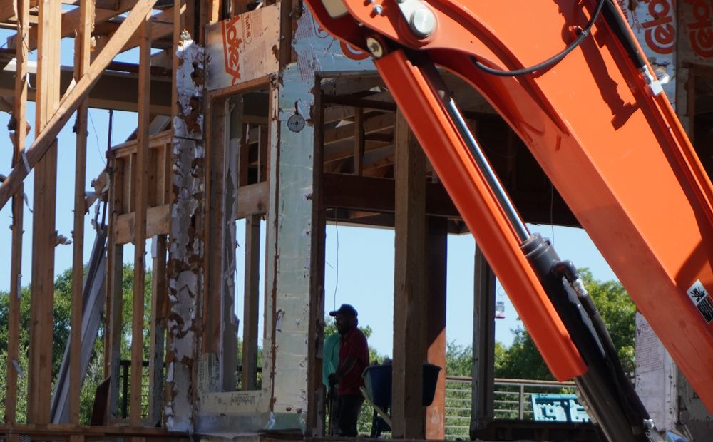
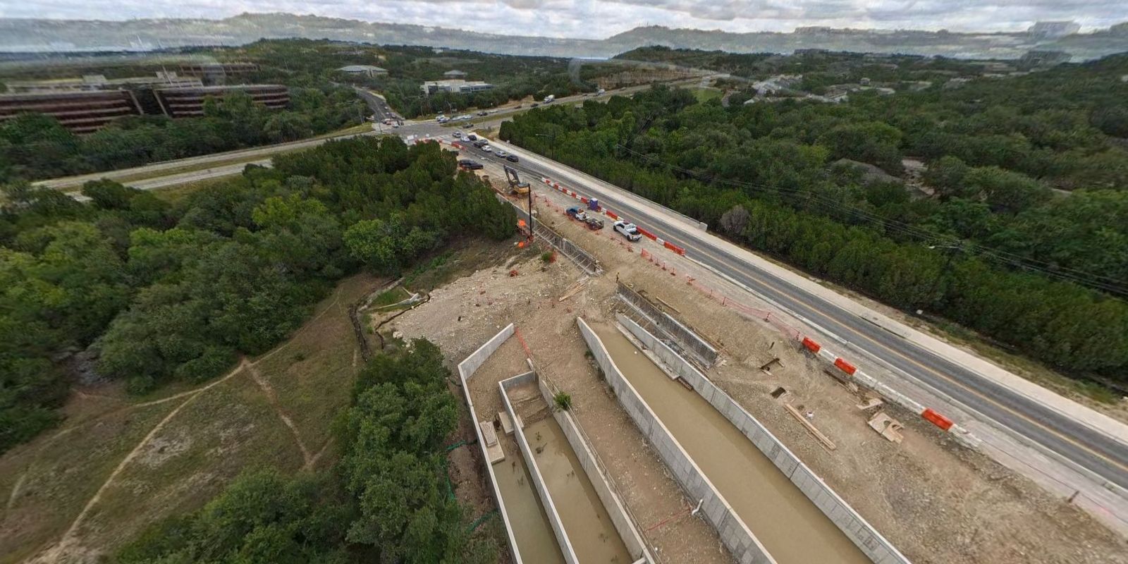
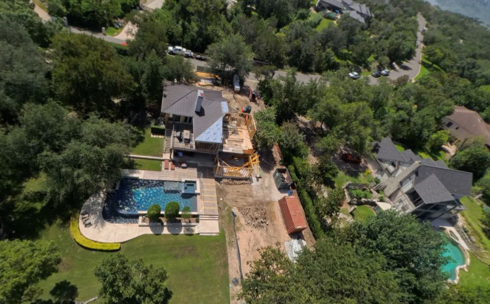

Founded in Austin to serve Central Texas
Lumen Air was founded by Daniel Matranga, an FAA Part 107 remote pilot and GIS Professional (GISP) with nearly two decades of experience using spatial data to manage assets.
Before starting Lumen Air, Daniel built mapping and geospatial systems for the energy and chemical industries, working on global projects for Shell, Bayer and Apache Corporation. Most recently, he served as Director of Data for a private equity firm investing in energy infrastructure. Daniel holds a Bachelor of Science from the University of Texas at Austin, and an MBA from Rice University.
When not flying drones and working with data, Daniel enjoys exploring new places, hiking Austin trails, and cooking things that both his wife and kids will hopefully like.
Working with us
What you can expect
Your data belongs to you.
No subscription required to access your files.
Fast delivery.
Photo and video are typically available within 48 hours.
Simple access.
Deliverables open in a web browser and are easy to share.
Clear expectations.
We document sites and supply data that you need to make progress on your project.
Where we work
We serve Austin and Central Texas. As a licensed and fully insured operator, we handle flight planning, airspace authorizations, and insurance documentation before every project.
Most work sits inside a 90 mile radius of Austin. For multi-visit programs and larger one-off captures, we travel statewide.
Next step
Start with one site.
Book a single site visit, review the results, and decide whether we’re the right fit for your project.